
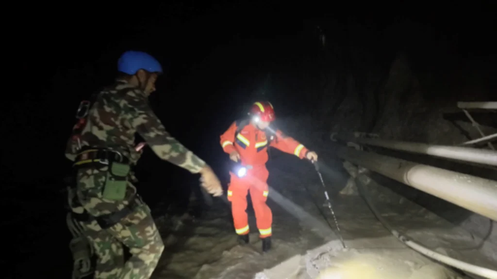
Following a severe landslide on the Nepalese side of the border near Gyirong Port on August 26, Chinese authorities swiftly coordinated with Nepalese counterparts to launch a comprehensive joint disaster response. China’s meteorology, water resources, and natural resources agencies established real-time data sharing and technical support to navigate complex high-altitude terrain and active cold-air precipitation.
Held over the cloud-based MAZU meteorological early warning system, joint consultations established daily English briefings, one-kilometer resolution 7-day forecasts, and extended 30-day weather outlooks to guide ongoing relief efforts.
To address observation gaps in the region, China strengthened monitoring by deploying mobile weather radars, ground stations, and rapid-scan Fengyun meteorological satellites providing high-resolution imaging and lightning tracking. China’s Ministry of Water Resources also dispatched emergency teams to monitor a newly formed barrier lake near the border, sending daily hydrological risk assessments to safeguard downstream Nepalese communities. By customizing its MAZU AI warning platform for Nepal and coordinating nearly 100 satellites for rapid hazard assessment, China’s technological support provided critical assistance for cross-border rescue operations and long-term risk mitigation.
Source: People’s Daily




Shaping Multipolar Order: SCO Expands Strategic Role on 25th Anniversary