
Following a severe transboundary mudslide triggered in Nepal on August 26, Chinese emergency forces have mobilized a multi-dimensional rescue operation at Gyirong Port in Xizang Autonomous Region. The disaster severely damaged local infrastructure, buried main access roads, and created secondary hazards like falling rocks, landslides, and an overflowing barrier lake.
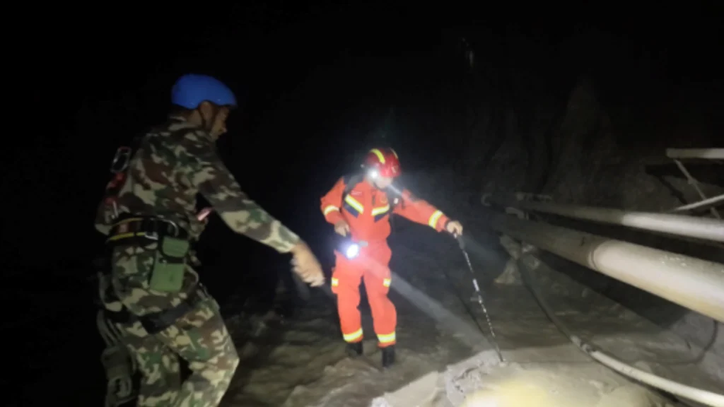
To maximize search coverage across high-altitude and treacherous terrain, the on-site fire and rescue command center deployed a coordinated land, water, and air strategy. Ground rescuers carrying specialized life detectors and satellite gear traversed steep 60-degree mountain slopes, rappelling down cliffs and clearing blocked paths to conduct grid-by-grid searches. Meanwhile, water rescue teams navigated inflatable boats through fast-flowing, rock-strewn rivers, frequently going ashore on foot to search high-risk riverbanks and backwater bends.
Aerial technology played a critical role in overcoming geographical obstacles. Continuous drone flights equipped with thermal imaging and mapping capabilities provided real-time 3D models and heat-signature data, helping commanders navigate communication blind spots and safely guide ground personnel. Despite changing weather, high-altitude fatigue, and persistent geological risks, rescue teams continue operating through a systematic, round-the-clock framework to locate all unaccounted-for individuals.
Source: People’s Daily




Shaping Multipolar Order: SCO Expands Strategic Role on 25th Anniversary